Camp at Historic site #47 in the Smokey Mountain National Park

This location started out in search of a waterfall for me – Enloe Creek Falls. After much research and second hand accounts I finally found the location and how to get into the seldom-visited reaches of Great Smoky Mountains National Park, just outside the Cherokee Indian Reservation, you’ll be hard-pressed to find this waterfall on any park map. If you’re intent on reaching it you’ll have to follow this plan! After crossing Raven Fork and passing through Backcountry Campsite #47, the path will turn into the steep drainage down which Enloe Creek flows. The trail won’t take you right up to the falls, however. That will require a bit more effort, in the form of a very steep, short bushwhack. In total you can make it in 3.5 miles after leaving your car, but this might be for another day!
Then, one day talking with Brian I suggested we do a camp/trout fishing excursion in the Smokies, I said I found a place not many people go, and that I found a site. He said “what site number”? After I told him #47 – he couldn’t believe it, as he had gone here before years ago, and always wanted to go back!
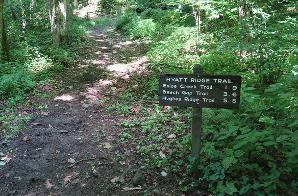
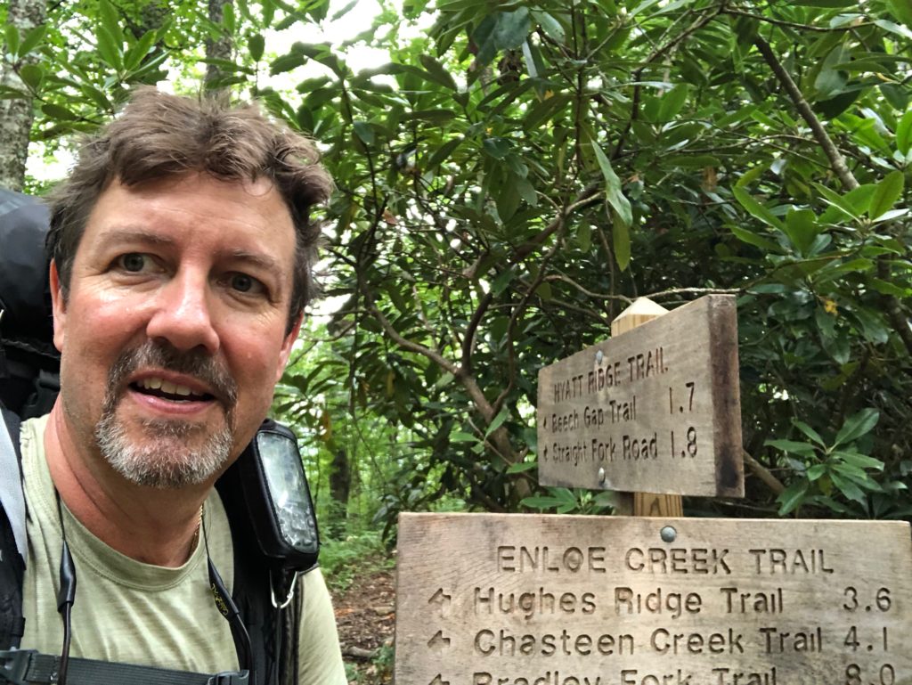
First of all we need to get into the Smokies, We’ll take the scenic and all-around better route via Heintooga-Round Bottom Road (the one-lane gravel road) that runs north along Balsam Mountain before descending into Straight Fork valley. It’s only about 39 miles, but will take almost an hour and a half. We’ll find the Hyatt Ridge Trail, which, along with the Beech Gap Trail, makes for a rewarding high-country loop hike of eight miles. Today we will only hike in to site 47 which is about 3 miles.
We arrived at 8.30 AM parked and took the Hyatt Ridge Trail starting with a steep climb, gaining 1,500 feet in less than two miles.
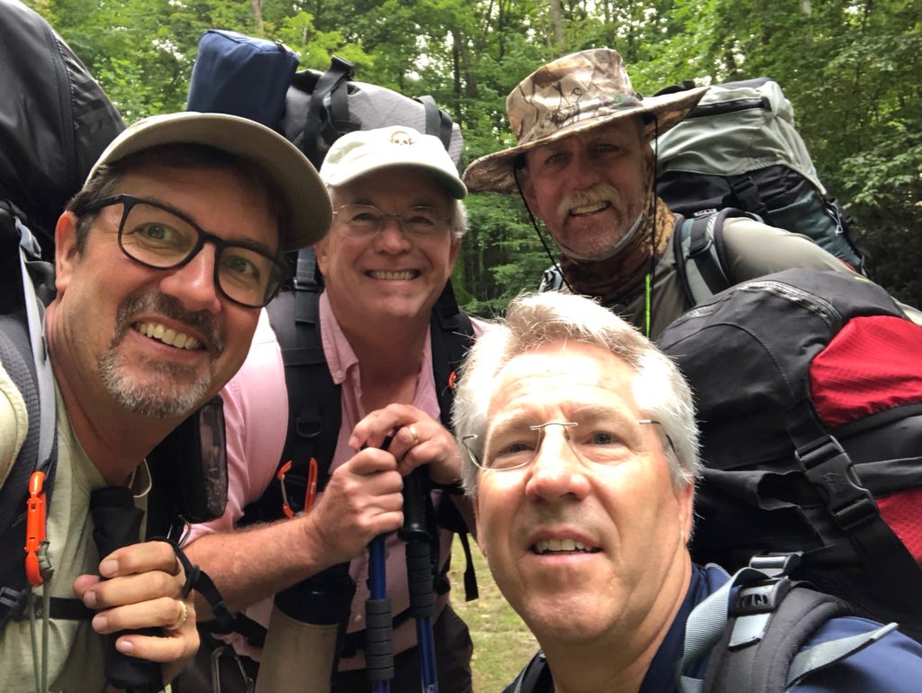
Here we go, all refreshed and ready to hike!
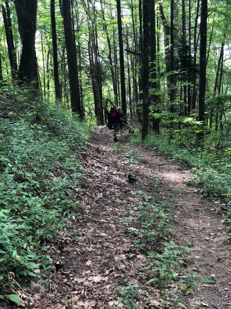
This hike was on an old gravel trail that literally went straight up for what we measured 2.4 miles.
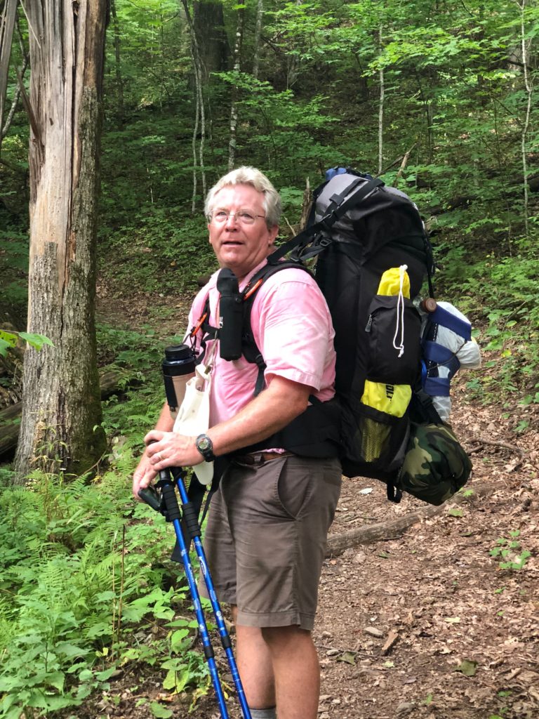
It doesn’t look that steep from the pictures, but, trust me – it is!
At the ridge go straight ahead and down via the Enloe Creek Trail to site 47 after a right turn over the bridge.
We made it to the ridge and thought we were home free, well, the downhill hike was almost as tough as the uphill portion we’d just done!
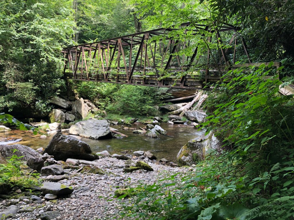
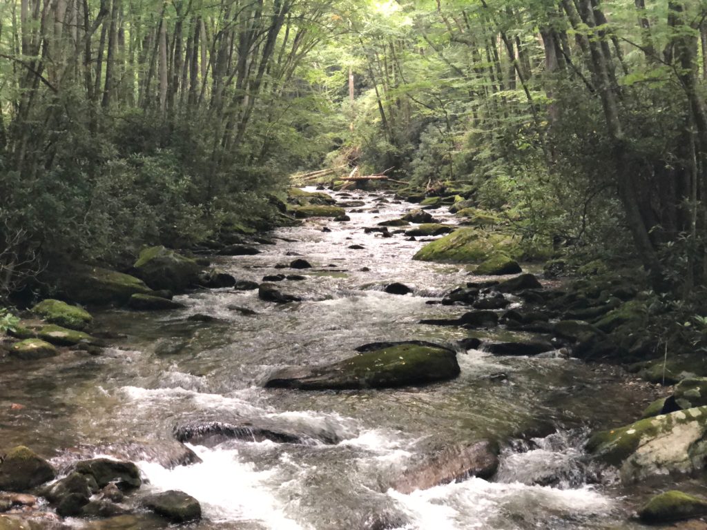
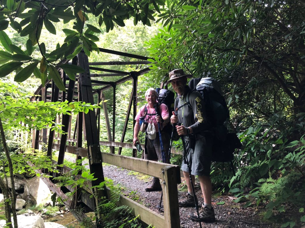
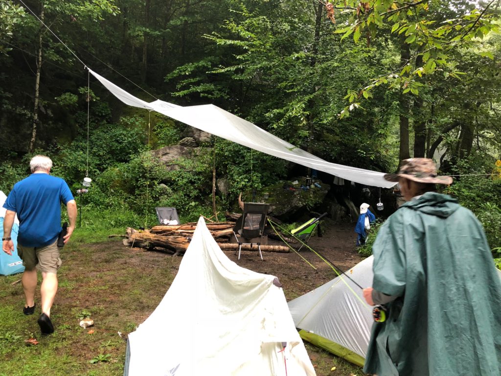
We see the bridge and cant wait to setup camp!
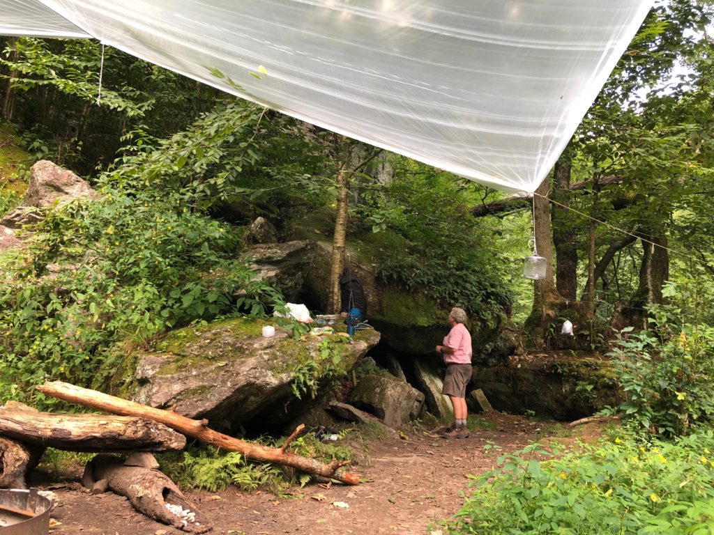
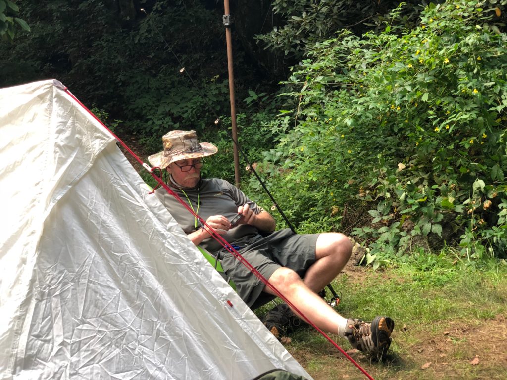
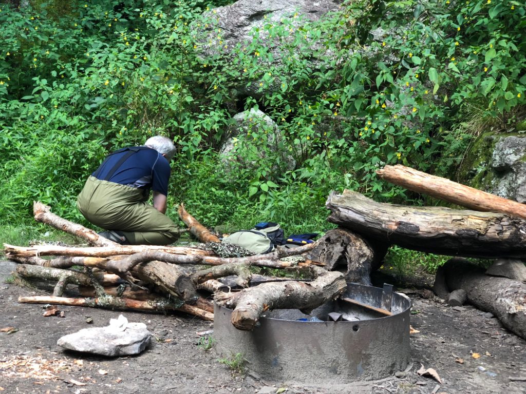
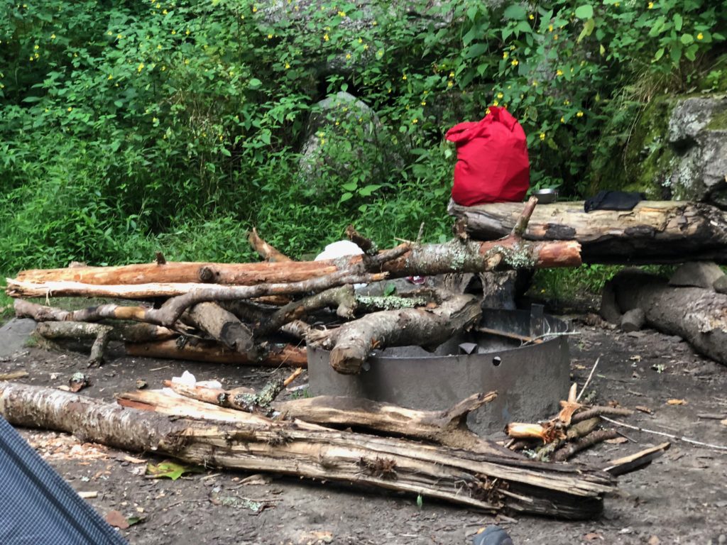
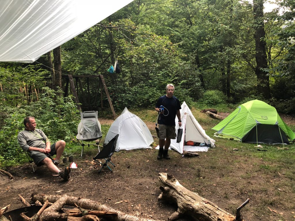
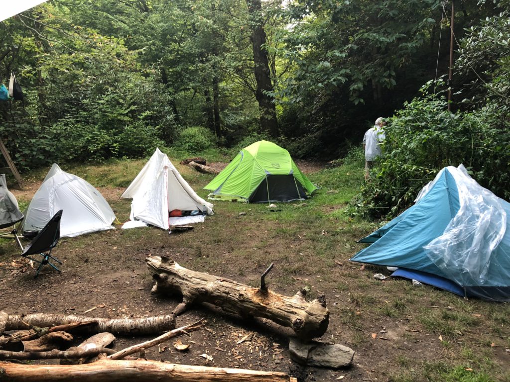
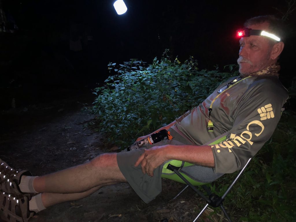
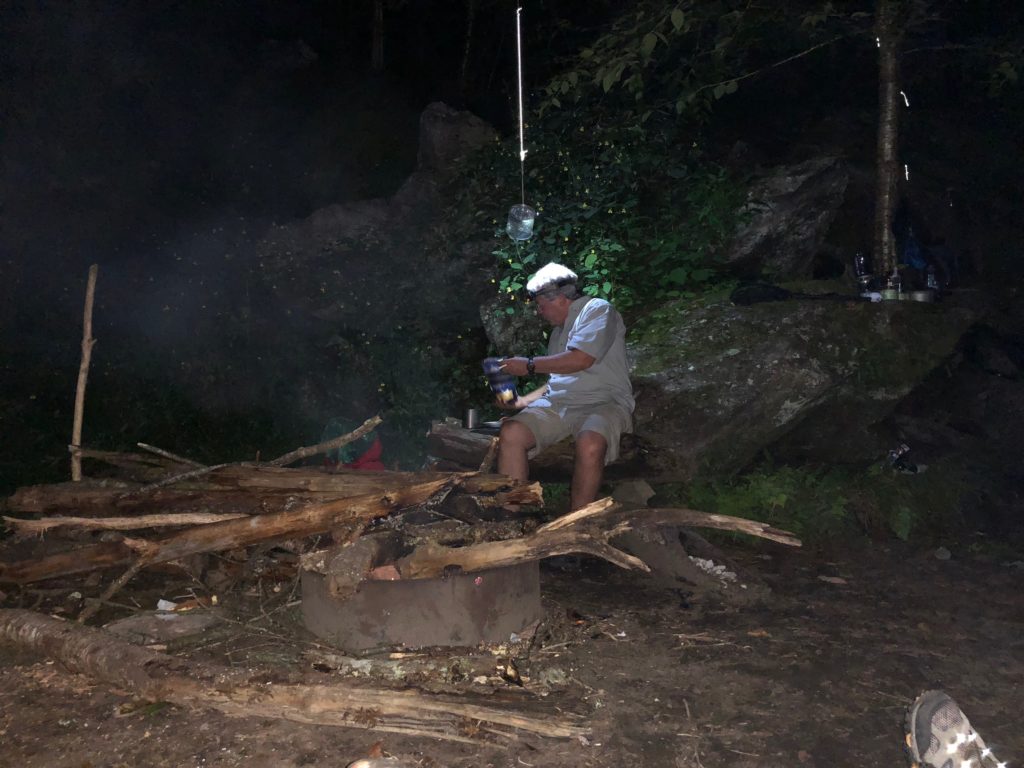
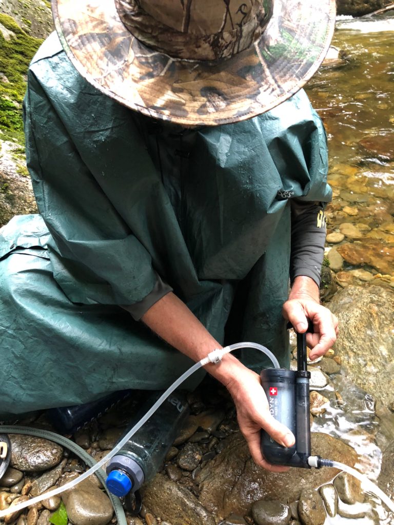
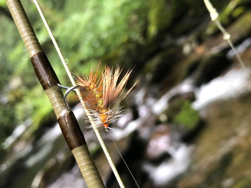
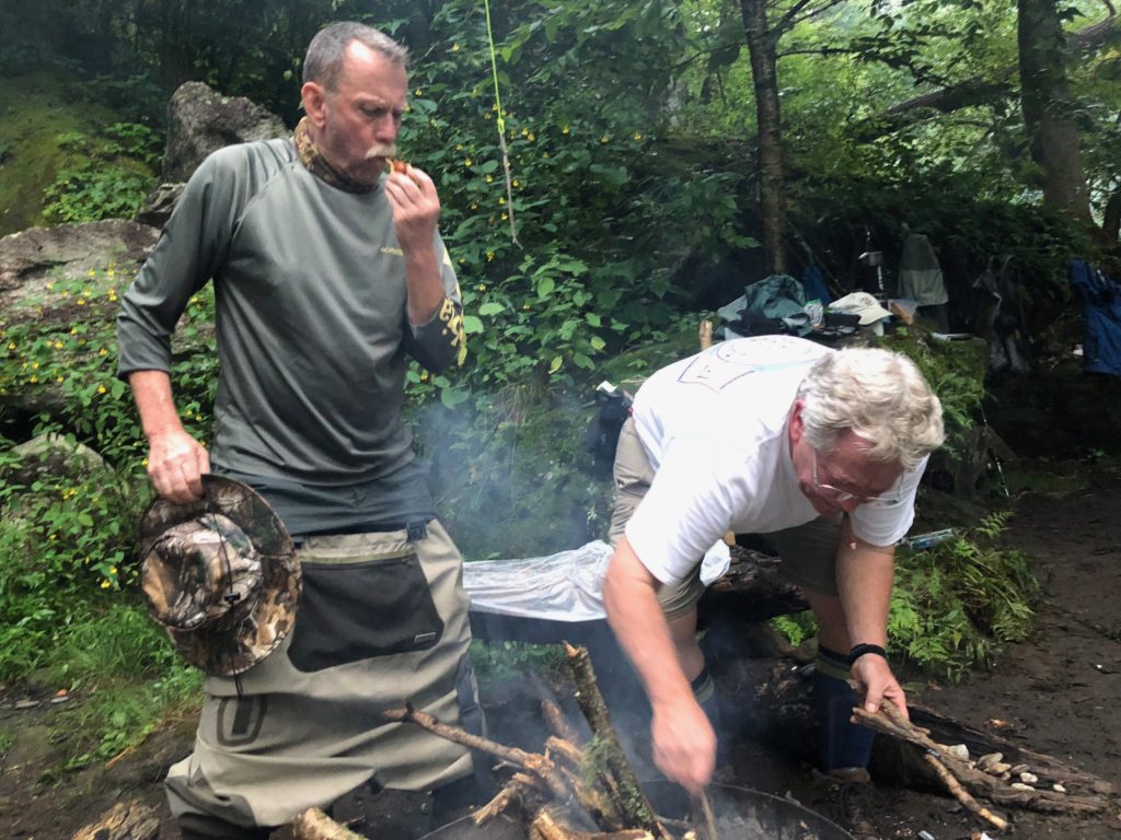
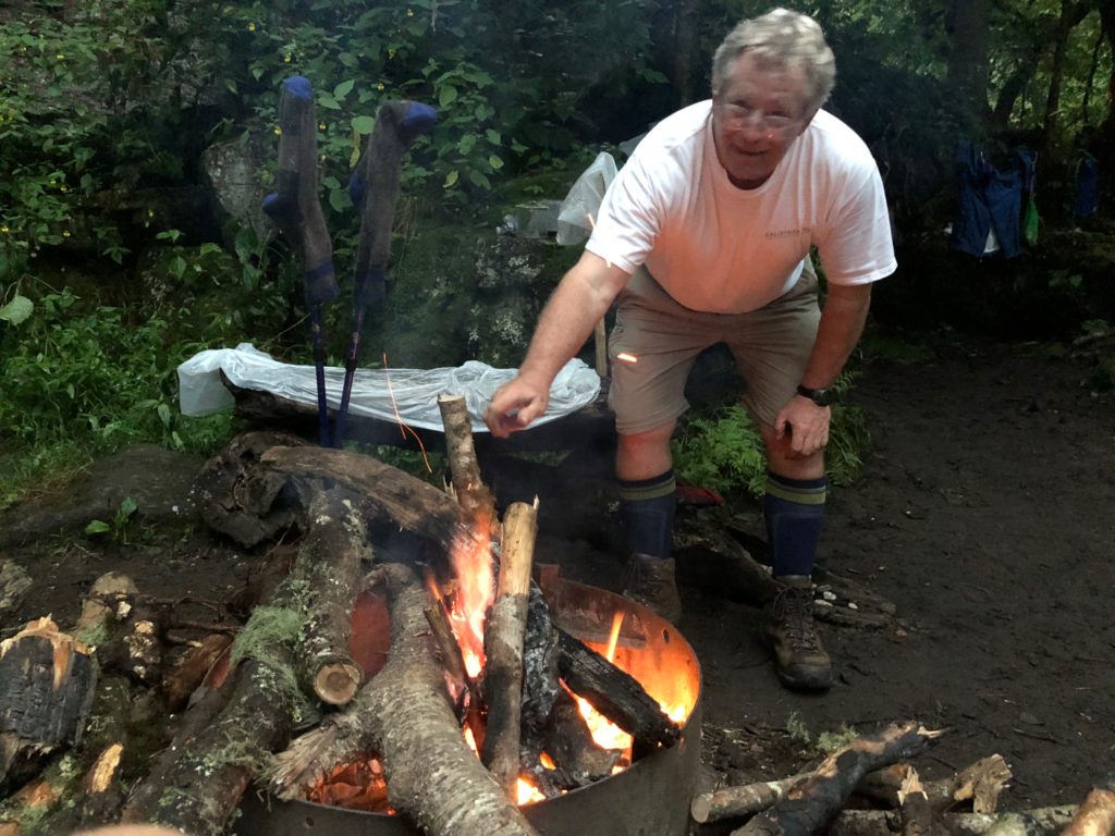
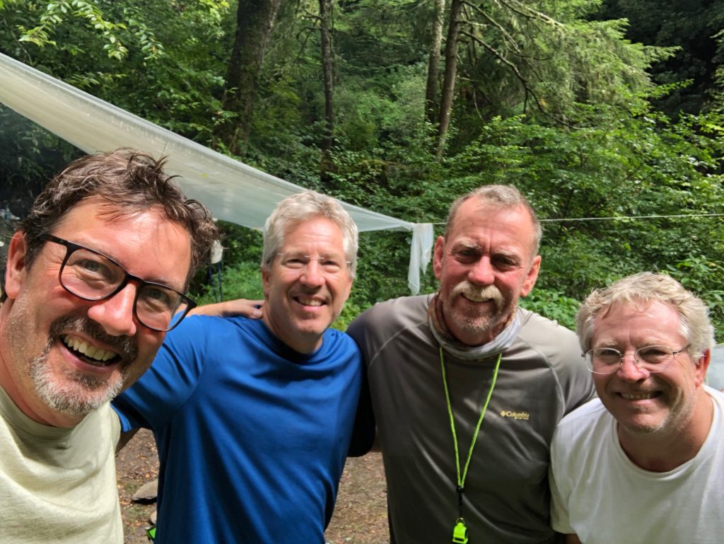
We spent the next few days fishing and hiking and eating. We had a blast. Take a look at some of the highlights.

It was looking like rain on the horizon, so we decided to hike out just before dark. Of course we exit the way we came in or the Enloe Creek Trail is a 6.5 mile loop that will circle back to the parking spot.
Blue Ridge Driving Directions:
Drive past the school, left on Skyland to US-23 N/US-74 E :: 10 min (3.7 mi)
Take Blue Ridge Pkwy to Bunches Cr Rd :: 38 min (24.9 mi)
Continue on Bunches Cr Rd. Drive to Balsam Mountain Rd :: 35 min (10.6 mi)
Arrive at Hyatt Ridge Trail head Cherokee, NC 28719