Cold Mountain Summit Hike

 Reaching Cold Mountain Summit is a strenuous 9-mile roundtrip in the beautiful Shining Rock Wilderness Area of the Pisgah National Forest. Allow 5-6 hours of hiking time, plus breaks. The best months to hike are May through October.
Go to the left from the parking area just after the Scout camp’s last building. 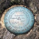 Leaving the roadside, the Art Loeb Trail switchbacks north to round a ridgeline at 1.1 miles at the first campsite. At 2.0 miles, the trail crosses tumbling Sorrell Creek with another campsite by the water, wildflowers were very abundant (including several varieties of Trillium), and will continue through spring and summer. At 3.8 miles, take a left at Deep Gap (site of another campsite). The peak is about a mile north.
Due to tree cover, there are no views at the 6,030-foot peak summit, however, if you backtrack about 10 yards down the trail from the top there is a small spur trail on the left that leads to a rock ledge that offers an incredible 180-degree view to the south. – Amazing!
Directions:
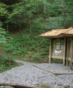
At Milepost 423.2, take NC Highway 215 ** and go 13 miles north. Turn right onto Little East Fork Road. Go 3.8 miles to the Scout Camp. Look for the bulletin board, just beyond the last building in the camp, for the beginning of the trail.
**On the way, you can stop at a roadside waterfall on the Pigeon River West Fork about four miles from the Parkway. After driving down the mountain ridge from the Parkway for four miles, you will cross an arched stone bridge with a curve to the right. Just past the bridge is a pull-off for parking on the left. Waterfall is not tall, but the cascades are beautiful.