Pink Beds Loop Hike

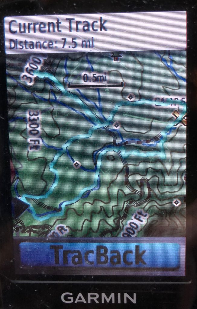
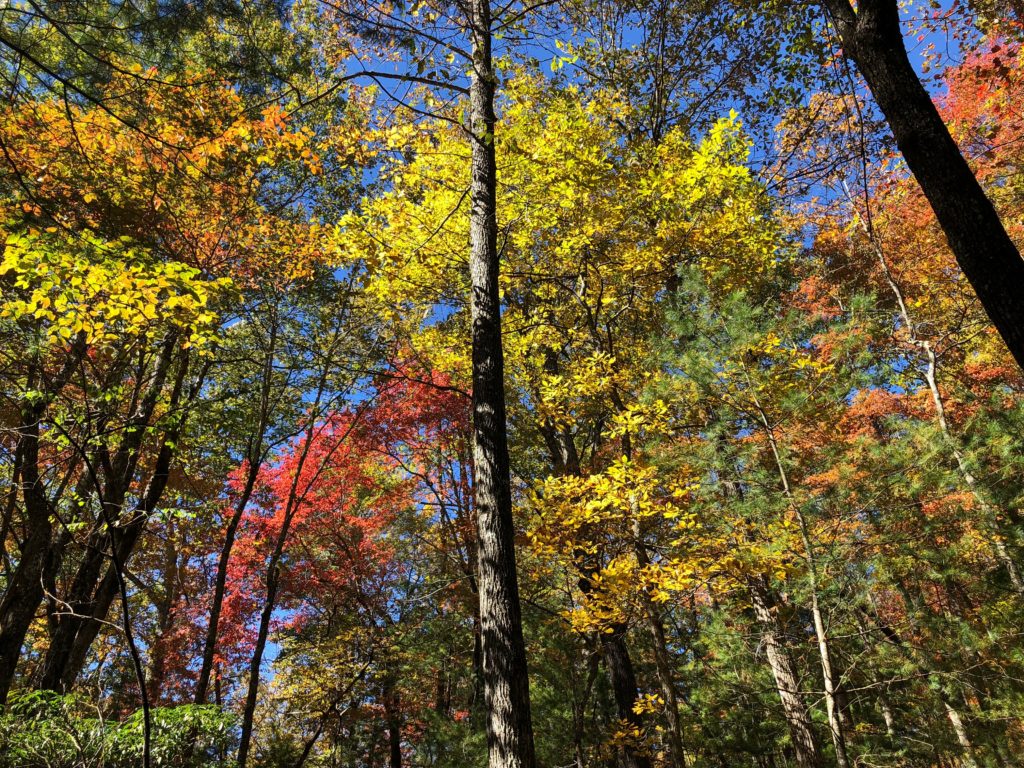
This 7 mile loop hike is all about water. You’ll see rare mountain bogs, including glimpses of some rare and endangered species of plants if you’re lucky. You’ll pass through a forest in transition, as beavers have dammed the South Fork Mills River to form their ponds, which are drowning out the trees. You’ll also find crystal clear brooks, wildlife meadows, scenic fern-filled woods, and an optional waterfall. This forest is one of the first to ever be managed through modern forestry techniques, earning it the nickname “The Cradle of Forestry in America.”
At any rate, the relatively flat valley sits at a high elevation (about 3200′), and contains beaver dams, clear babbling brooks, very large pine trees, and scenic open woods, meaning that even outside of bloom season there’s plenty to enjoy.
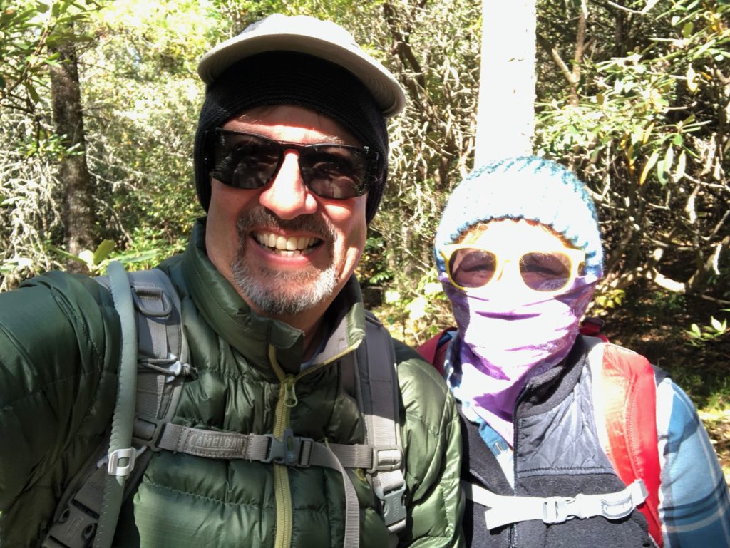
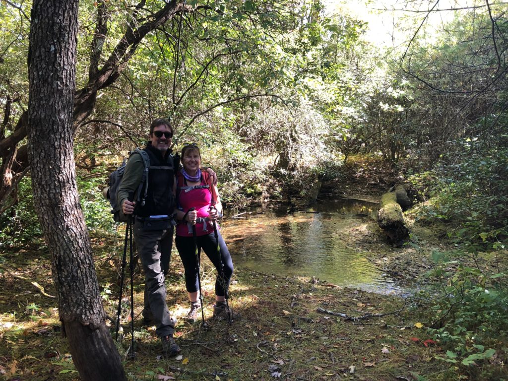
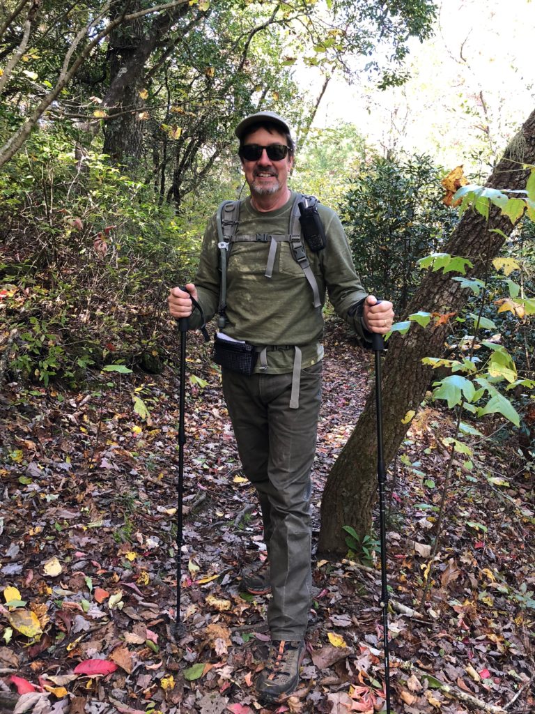
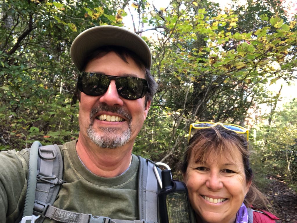
We began the hike on the gated road leading away from the left side of the parking area beside the map. We paused for a picture of the two of us freezing cold! It soon reaches a crossing of Pigeon Branch, the headwaters of South Fork Mills River. There is a footbridge off to the right side of the road, and then you reach a split. The loop can be hiked either direction, but I’ll describe it going counter-clockwise, so turn right if you want to follow along. The trail loosely parallels the South Mills River and its tributaries downstream from here all the way to the tip of the loop.
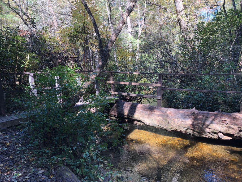
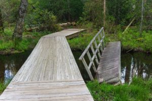
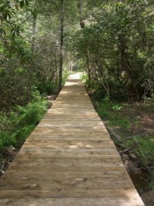
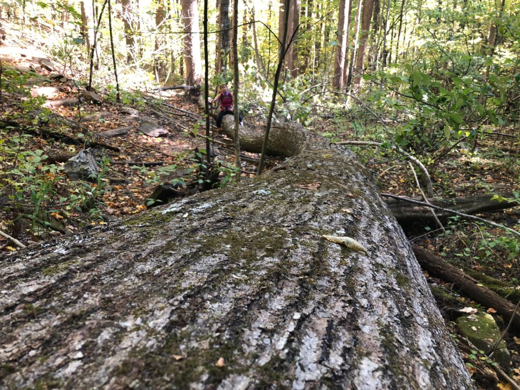
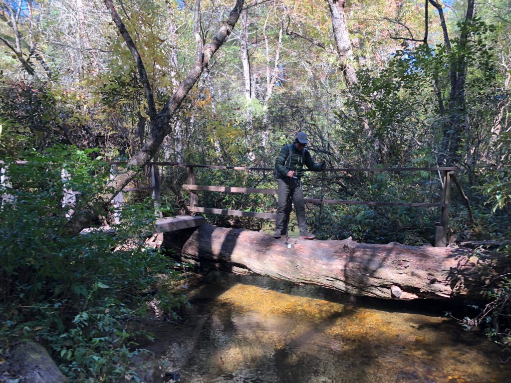
This trail occasionally crosses the river and its tributaries on bridges, boardwalks, or footlogs all the way around the loop. One makes innovative use of a huge fallen tree. Footing is generally good, though there are lots of roots in places.
Coursing through an undergrowth of twisted Mountain Laurel, the trail passes some very large pine trees at the beginning of the hike and their soft needles carpet the path. You’ll reach the next series of bridges in short order, just upstream of where Pigeon Branch and another tributary meet to officially start the South Fork. The trail gradually curves to a more northeasterly direction past these crossings.
You’ll reach the first boggy area, and it is crossed by a sturdy boardwalk structure (built in Februrary 2013). Some of these boggy areas have been enlarged or even created by busy beavers, and you may see their dams (as well as the remains of old footbridges that used to serve the trail adequately before beaver activity and floods altered the stream channels). Large trees which once stood on dry ground beside the river have died or fallen over as they’ve been flooded out. A particularly rich habitat for aquatic species lies under the flooded, upturned roots of a big fallen maple tree on your right, beside the boardwalk.
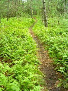
Pink Beds Trail through Doghobble
The Pink Beds Loop trail crosses a small tributary in this area filled with doghobble.
Beyond the boardwalks, the stream largely returns to its channel and the trail follows it on a dry path. The forest returns to something more typical of what you usually find across the southern Appalachians, with tall mixed hardwoods trees growing along with some pines and hemlocks, with an understory choked with doghobble, mountain laurel, and rhododendron. You will come to the intersection with the Barnett Branch trail. To the left, the trail cuts through the middle of the loop, across an older bridge & boardwalk, and ends up on the other side of the loop, making a half-loop hike possible. This is recommended if you’re short on time or have children in tow who can’t hike the entire loop.
The Pink Beds Loop and Barnett Branch trails continue together straight; almost immediately, the Barnett Branch trail splits off to the right to ascends Soapstone Ridge and to reach the Black Mountain trail on Rich Mountain. The Pink Beds Loop continues to the left at the split; go that way.
Formerly, past this intersection, the Pink Beds Loop trail went back down into an open area where beaver dams have made quite an impact on the forest. The meandering stream is lined by tall grasses and a few dead trees with bogs in between. However, the trail was re-routed onto higher ground in 2009, and now climbs gently through drier woods. It winds in and out of small coves, crossing one tributary in a stand of dead hemlock trees and another on a sturdy bridge, and passes some huge white pines. Limited views back across the valley – mostly in the wintertime – are possible in at least one spot, owing to the trail being situated on higher terrain. If you look closely you’ll see the green floor covered with pine needles and fresh moss.
It’s not long before the trail descends again, curving into the cove of an unnamed tributary draining Soapstone Ridge. It crosses the tributary and then re-joins the river in an open woods area, before crossing the river yet again for the last time on a new, sturdy bridge.
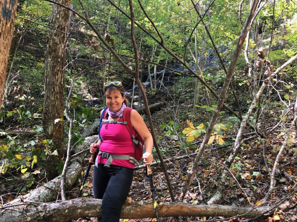
Past this bridge, the trail resumes following the river downstream and enters some remarkable fern-filled woods. You’ll come to the next intersection in short order, and this is the point on the loop farthest from the parking area. The trail to the right leads to the gauging station and parking area on FS 476 – the old South Mills River Road. So turn left here to begin the return to the parking area, and start a gradual ascent into the “foothills” (so to speak) of the Pisgah Ridge.
The trail never gains an appreciable amount of altitude, but it does climb bit as it rises above the valley bottom, and it takes you through beautiful open forests of oak and tuliptree. Some areas are completely carpeted by ferns; others look like more typical woods, although they are rather open as a result of some controlled burns in recent years. These fires cleared out much of the undergrowth including the mountain laurel; lush sprouts of laurel now ring the old dead bushes and will soon again put on a remarkable flowering display when they get a little older.
The trail gradually turns into more of a old woods road as it loops around and heads back toward the parking area. It is eroded in spots, but has been re-routed around the worst of them. You will cross several crystal-clear tributaries trickling down from the Pisgah Ridge toward their junctions with the South Fork Mills River. Some crossings have bridges, but some of the smaller ones do not. Still, you can rock-hop them all and stay dry.
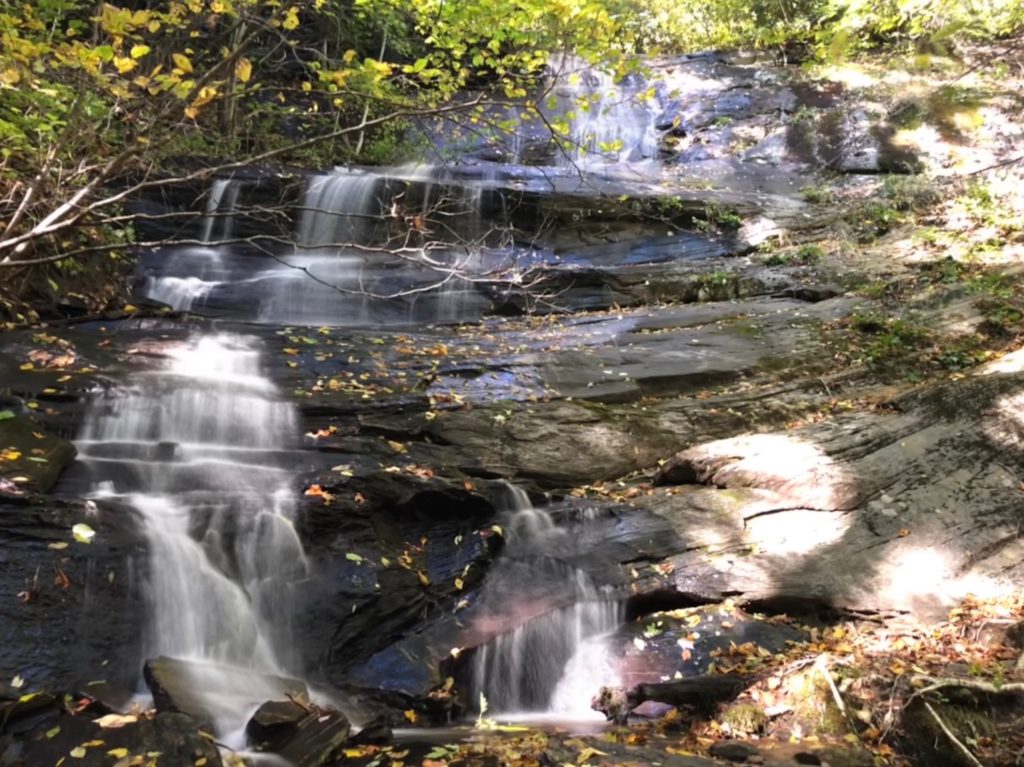
You’ll reach the other intersection with the Barnett Branch trail on this stretch of the hike as well. you could continue straight to complete the loop – dont make that mistake! A great waterfall is located about a mile northwest on the Barnett Branch trail; turn right to see it. The Barnett Branch trail climbs gently across the edge of the valley through woods filled with mountain laurel, and crosses Yellow Gap Road (FS 1206). Past the road, it climbs a wee bit more, but reaches the base of a 25 or 30 foot waterfall in about 0.3mi. Eat here and return to the Pink Beds loop and turn right to continue the hike.
Toward the end, the trail will pass through several large clearings in the forest. These man-made meadows are called “wildlife openings” by the Forest Service, which it keeps mowed for the benefit of grazing animals and those which like to live on the fringe areas between woods and grass, such as deer and wild turkey. Hike this section at dawn or dusk and you’re likely to see one of them here.
Reaching the fields signals your approach toward the end of the loop. When you reach the fork, turn right, and climb the small hill back up to the parking area to finish the hike.
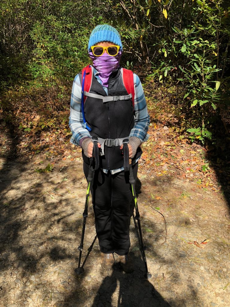
Toward the end, we had shed most of our warm clothes, it was warming up quite nicely – we loved the hike!
Directions:
1 hr from BWB – Turn left onto US-23 N/US-74 E/Great Smoky Mountains Expy for 11.4 mi, Take exit 100 for Hazelwood Ave for 0.2 mi, Turn right onto Hazelwood Ave 0.9 mi, Turn left onto S Main St 0.6 mi, Turn right onto Legion Dr 0.3 mi, Turn right onto US-276 S/Pigeon St Continue to follow US-276 S 24.2 mi, Turn left Destination will be on the right.